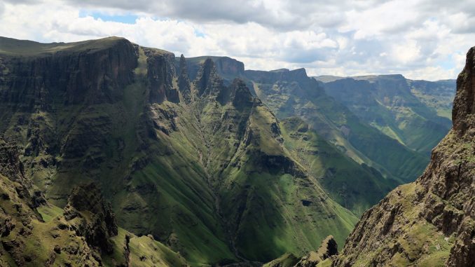
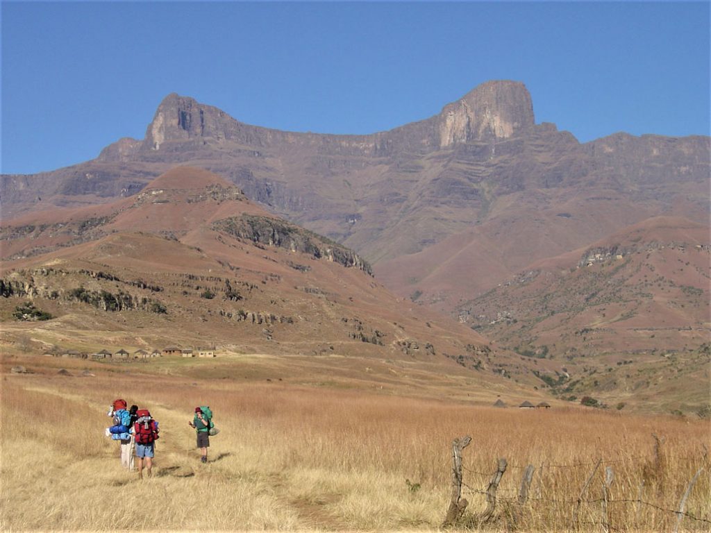
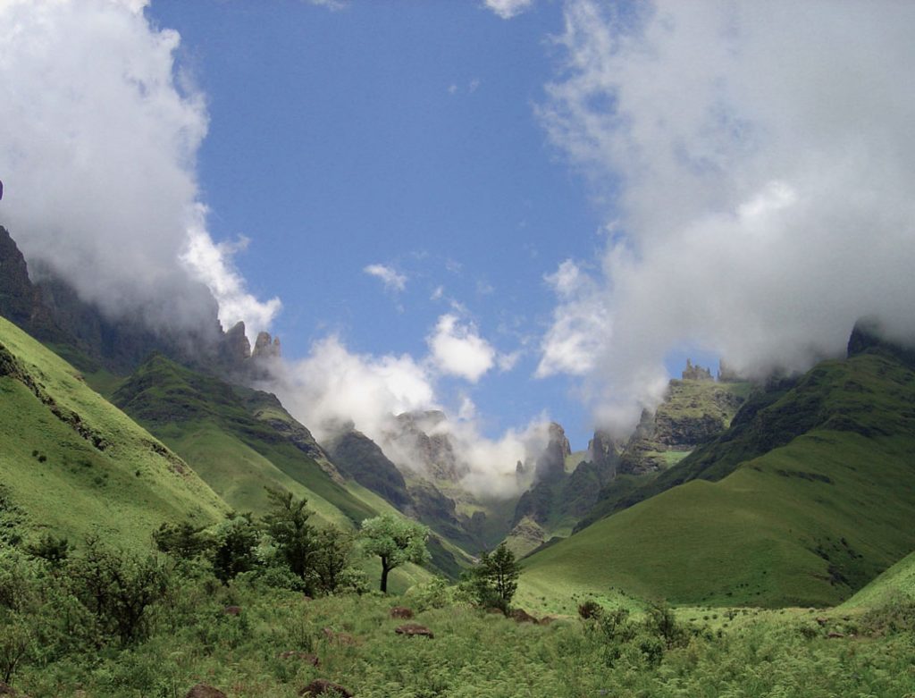
Mnweni is arguably the most scenic and dramatic area in the Ukahlamba-Drakensberg. It is also the only part of the northern Drakensberg range that is not situated in a national park – the surrounding foothills up to the escarpment is still tribal land and is occupied by traditional Zulu communities and small-scale farmers. Officially, the area known as “Mnweni” is managed by the amaNgwane Tribal Authority and covers the region between Mount Amery and the Ntonjelana Ridge.
For hiking purposes, the area stretches from the Royal Natal National Park in the north-east to the Cathedral Peak area in the south-west – it is a vast range commencing on the southern edge of the Amphitheatre and Devil’s tooth, going around the valleys from which the Mnweni river spring, across the jutting escarpment which is the source of the Orange (Senqu) river all the way to the northern side of the jaw-dropping Bell and Cathedral peak ridges.
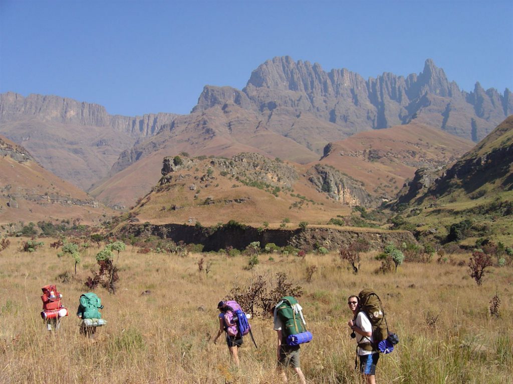
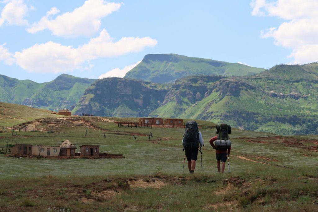
The people in the lower valleys are friendly and welcoming, and walking through their farmlands past thatched-roof mud rondavels (and increasingly modernised homes) is a treat. One would normally spend at most half-a-day to pass the human settlements into the more remote foothills, from where the main attractions of the enormous and impressive passes, peaks, cliffs, and rock-towers are accessed.
Getting There
All hikes start from the Mnweni Cultural Centre, approximately 400km from Johannesburg and 270 km from Durban. The Centre is best accessed from the nearby town of Bergville (35km) and includes some 17km of dirt road. You can find the Centre on Google Maps here.
Facilities and permits
There are camping facilities and rudimentary rondavels at the Mnweni Cultural Centre, but no shopping or meals – one has to be entirely self-sufficient in that regard.
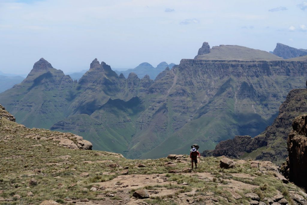
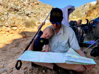
When hiking, you are in a wilderness area and there are no facilities or marked trails – you have to be able to navigate with a map and be completely self-sufficient. There are cattle and foot-trails used by the locals which should cover most of your hike in the foothills and on the escarpment. Only a couple of the passes have clear trails – for most passes you have to be able to navigate up dim paths, river beds and steep grassy slopes.
Be sure to take along the Slingsby KZN Wildlife Drakensberg Hiking Map # 1: Rugged Glen – Mnweni, available here.
You also need to purchase your hiking permits (R60 per person per night as at December 2018) and complete the rescue register.
Website and contact details
Due to the lack of proper connectivity the centre no longer has a live website. It has also been increasingly difficult to get hold of staff at the centre, and contact details seem to change from time to time. To our knowledge the centre is still functional as at the time of writing (September 2019).
The latest information at our disposal is as follows:
- Bookings and enquiries – contact Leonard/Colleen at 072 712 2401 (If no one answers the phone, sending a SMS might get a response.)
- Overnight accommodation (rondavels) costs R250 per person
- R 60 per person per day for overnight hiking permits
- No cost for parking.
If you are unable to make contact or get updated information, we recommend taking the chance and simply go – that’s been the general modus operandi at the time of writing and feedback is that people manage just fine.
Guides and porters
For first-timers and inexperienced hikers the presence of a guide could be invaluable. Given the scale of the passes and difficulty of terrain, people of average/below-average fitness may also benefit from the services of a porter (as a rule, porters will carry about 15kg of your goods, but do check beforehand if you are able to make contact with them). Using a guide and/or porter is also a great way to invest in the local economy and empower the community’s interest in preserving the natural beauty of the area.
Up-to-date contact details, again, are sketchy, but a first port of call will be the Cultural Centre. Alternatively, these two contacts were posted on the Vertical Endeavor forum:
Khumbulani – 076 989 7387
Caiaphus – 073 603 9107
Passes and hiking routes
Due to the settlements and farming in the lower foothills, the experience of the Mnweni-Drakensberg only really starts when you are in the higher foothills leading to the passes. As such the area does not really lend itself to day-hiking and getting to the top of the escarpment via one of the passes should be on the menu.
Being a wilderness area, there are no fixed routes. Fit hikers might be able to do a there-and-back hike over a weekend, but for most mortals hiking in the Mnweni will be a 3+ day excursion. Proper route planning and packing for a wilderness experience is required (See our series of articles on what to pack for a multi-day hike here).
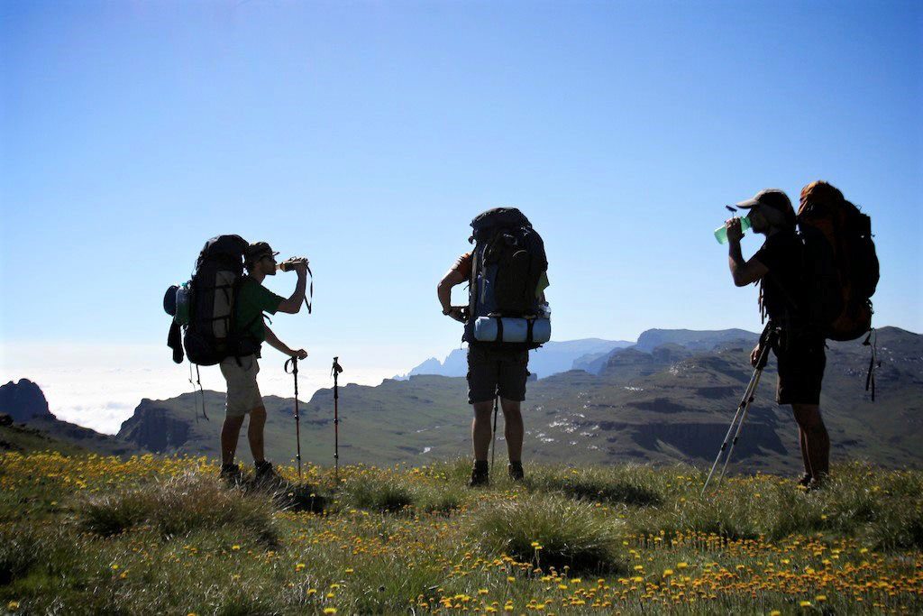
Your route planning will probably be around the passes you plan to ascend and descend. The following are the major passes in the area (with the difficulty rating out of 10 and a star rating for the quality of the experience and beauty of the pass):
Ifidi – 9/10 **** (ROCK)
Icidi – 10/10 **
Mbundini – 7/10 ***
Fangs – 7/10 *****
Rwanqa – 8/10 **
Pins – difficulty not rated (ROCK)
Manxome – 9/10 *****
Mnweni – 6/10 ****
Rockeries – 5/10 ****
Ntonjelana – 4/10 **
It is worth noting that all passes in the Drakensberg are very hard, and the difficulty rating here should not be compared to that of normal multi-day hikes. The rating shown is a comparative rating for Drakensberg passes, as explained here: https://www.hikingsouthafrica.co.za/drakensberg-passes-intro/
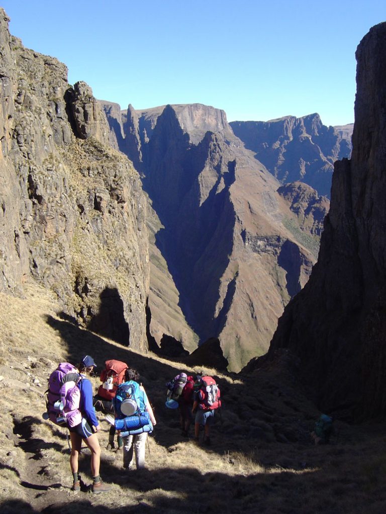
A great introductory route, and one of the finest 4/5-day hikes you will find in South Africa, is the Rockeries – Mnweni Circuit (where the escarpment is ascended and descended via the Rockeries and Mnweni Passes). It is however not to be underestimated and will require a high level of fitness and hiking competency.
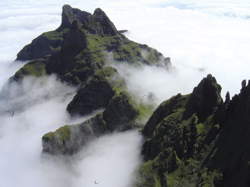
Fangs pass is arguably the most scenic pass in the Drakensberg and offers the complete experience of remoteness, navigating off-trail and scrambling, but without being dangerous. It is a bucket-list pass for any serious South African hiker.
Features
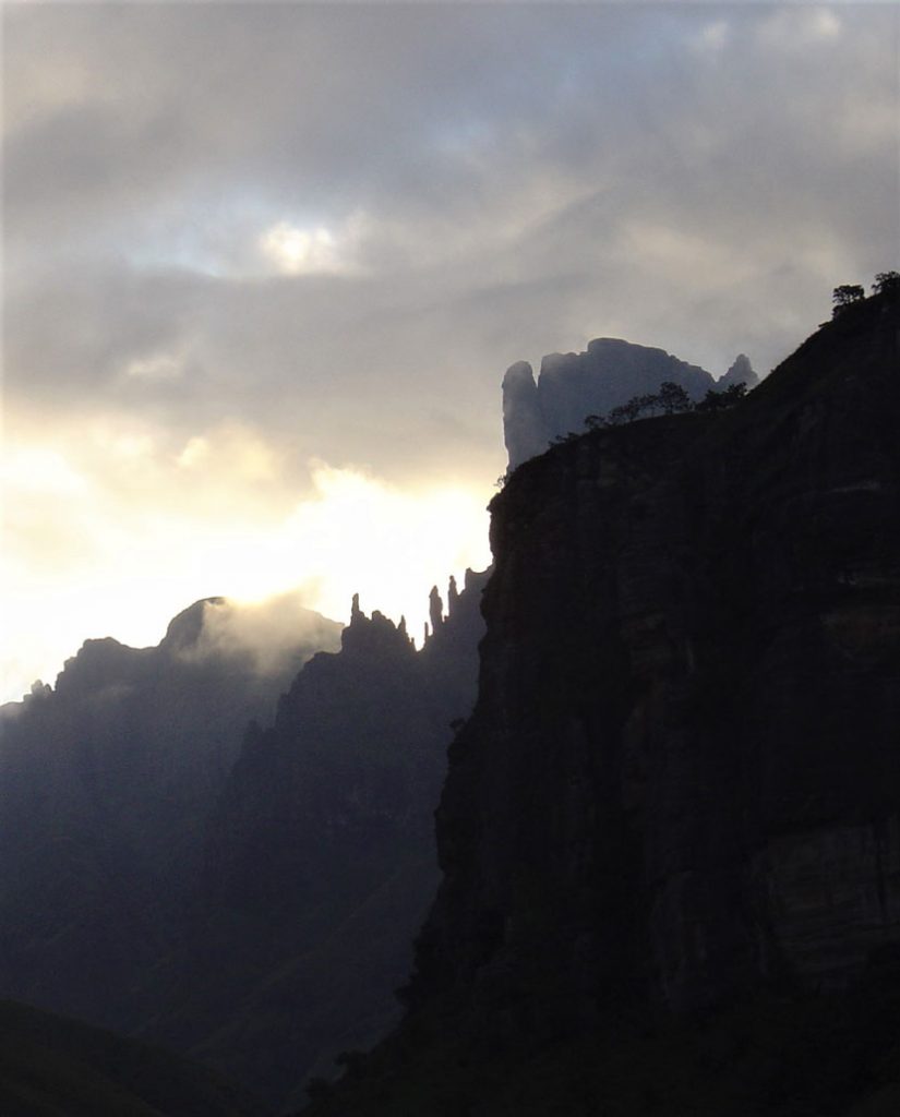
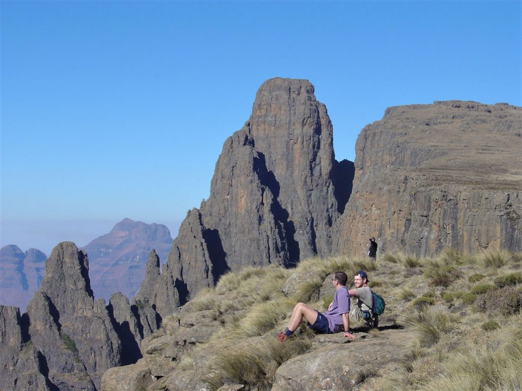
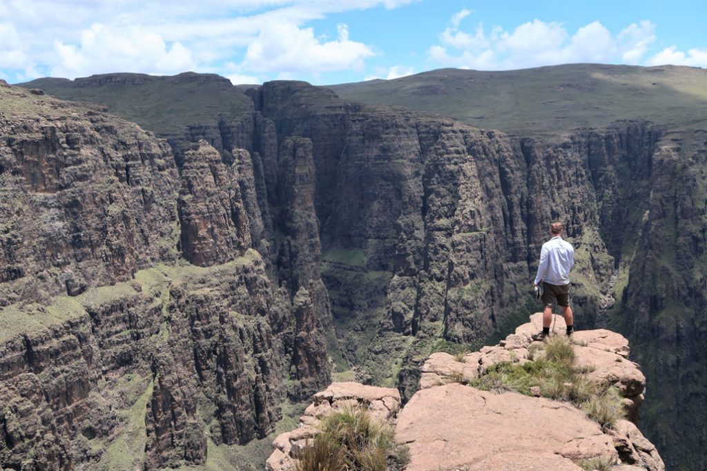
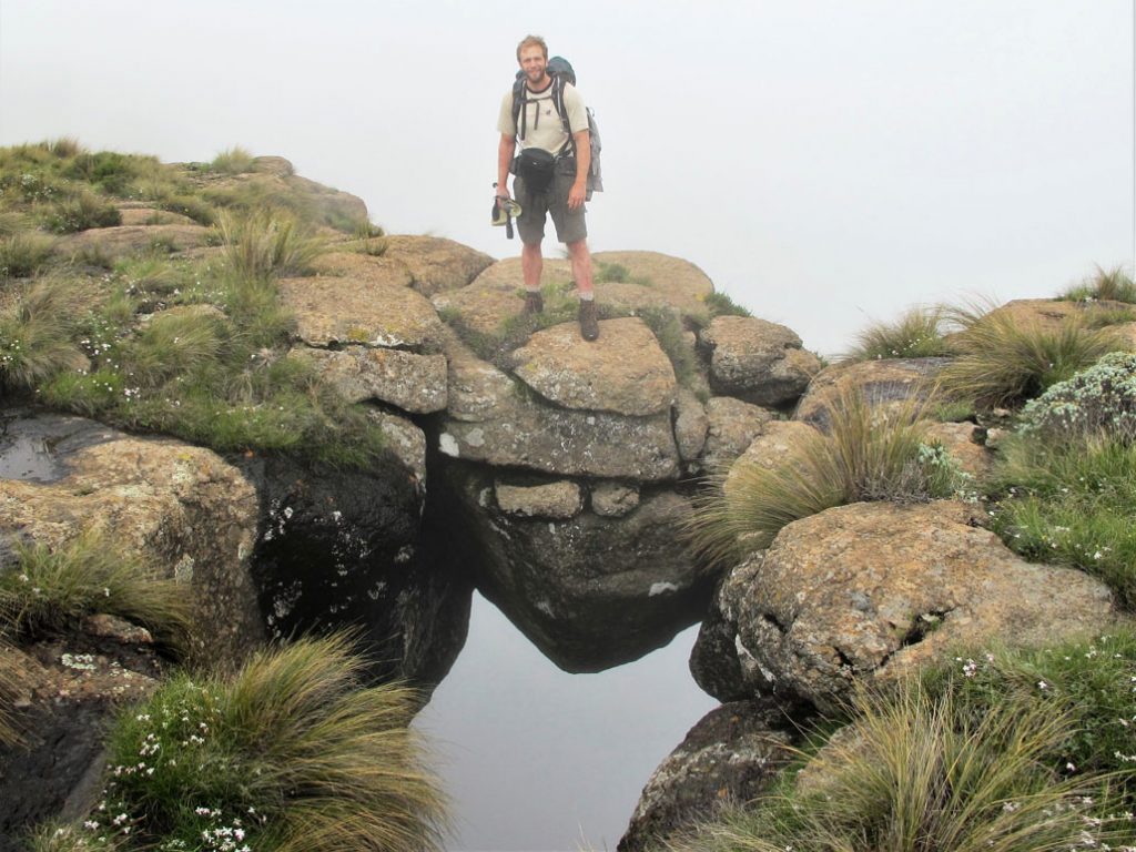
The area is riddled with impressive rock formations and sculpted valleys. Some of the features that should be on the must-see list (and that will probably require more than one trip):
- Madonna and Her Worshippers
- Mnweni Pinnacles
- The Hanging Valleys (one can easily spend half-a-day exploring this mind-blowing area)
- Mnweni Needles
- Mponjwane (aka Rockeries Tower)
- The Rockeries
- Ledges Cave
Caves and camping
There is ample camping in the higher foothills, as well as a few caves. The caves are frequented by cannabis traders and shepherds, who unfortunately often tie their pack animals in the caves, so they are rather dirty. Consult the map for the location of caves.
At the base of the passes camping becomes more cite-specific due to narrowing valleys and steeper, rockier terrain. Individual pass descriptions will often indicate where one can find camping/caves at the base of passes.
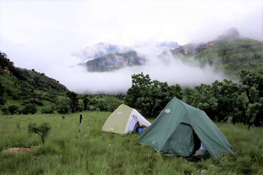
There is ample camping on the escarpment – one is really spoilt for choice. Two of the Drakensberg’s most spectacular caves (as far as views are concerned) are situated near the source of the Senqu/Orange river, being Ledges Cave and Mponjwane Cave. Both are actually deep overhangs and provide decent shelter, but it may be necessary to pitch a tent inside the caves in rain coupled with strong wind or drifting-drizzle.
Time of year
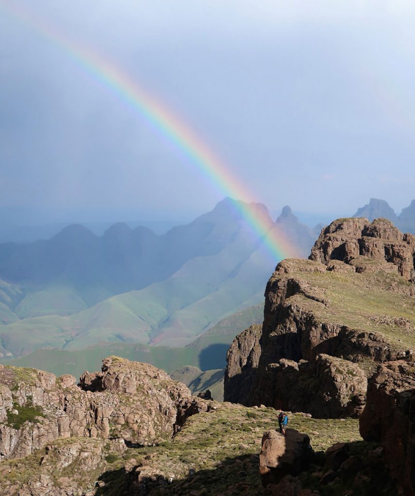
Hiking in the Mnweni can be done year-round, but most hikers seem to favour spring and autumn for a mix of mild weather and decent daylight hours. During the height of summer, the area is wonderfully green with long daylight hours, but thunderstorms abound, and the river crossings can become a challenge after heavy rain.
In winter, the days are short but the weather generally clear in between weather systems – your biggest challenges will be freezing temperatures (washing yourself is a real trial!) and the possibility of snow. One must be prepared for any type of weather though – lightning storms, rain, sleet, snow, and gales occur year-round, with heat waves and high-UV days occurring in summer.
Safety
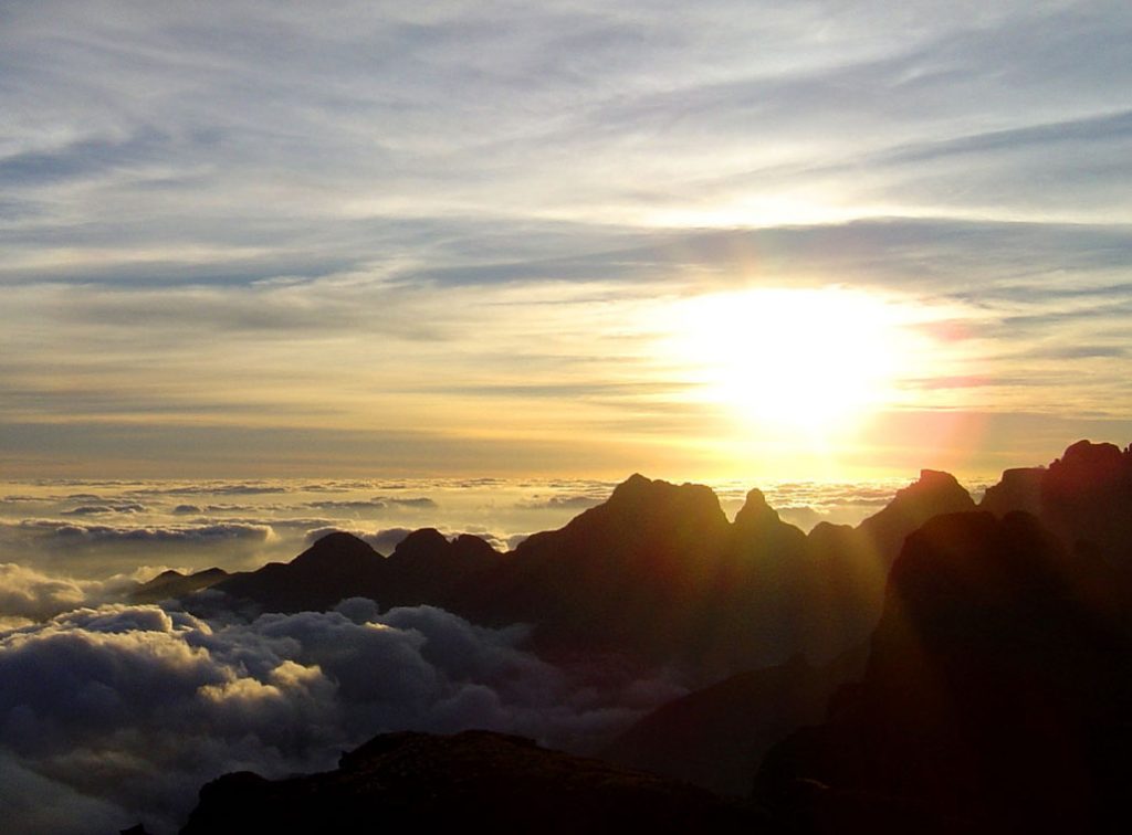
Your main safety concerns will be with the route and weather – hiking in a group, proper planning, a charged cellular phone and the correct equipment should all feature in your safety assessment. There’s literally been a handful of cases of theft/robbery over the last 20-years, which seem to have been completely opportunistic. One should nonetheless be aware of the potential danger and adhere to standard safety protocols (using the services of a guide will again be valuable in this regard).
The “Berg Alert” thread on Vertical Endeavour’s forum should be checked before you embark on jour hike: https://www.vertical-endeavour.com/forum/2-drakensberg-security/56385-berg-alert-2018.html.
Sustainability
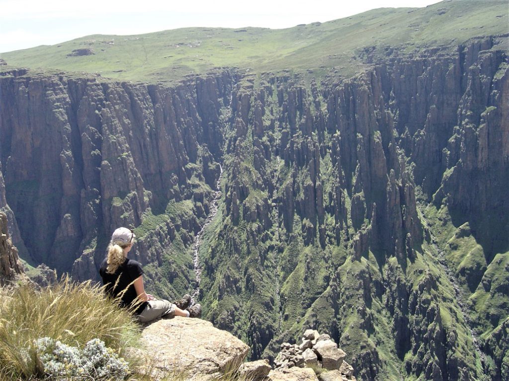
With some of the worst droughts in recorded history in recent years, coupled with a growing population and increased livestock, the lower foothills have taken a beating with overgrazing and consequent erosion. There’s also been an increase in burning for agricultural purposes (mainly cannabis fields) in the higher foothills, with incalculable damage being done to the hardy cycads that eventually succumb to multiple fires.
The trails on the passes frequented by traders and cannabis-smugglers from Lesotho (with their pack animals) are also badly eroded and the paths have to be re-routed every now and again (especially Ntonjelana, Rockeries and Mnweni passes). The Mnweni area is nonetheless an absolute gem of a hiking area, with a rare quality of adventure and the most spectacular scenery imaginable.
We highly recommend hiking there and encourage hikers to engage the community and authorities in a cooperative manner to develop and protect the area.


The most stunning area of the Berg. Hope to go back soon.
In my opinion, if you had to do one overnight hike in SA, the mNweni passes would be my choice.
Hiking in the Mnweni area gets my vote anyday. Fangs pass is the most difficult hike I have ever tackled but also the most rewarding.
Great article. very informative, planning to leave 16.12.20
Hi. Can you please recommend a guide for us. We want to do the Mnweni circuit around 16June .I would rappreciate it.
Thank you
Terrence Ngobese (https://www.facebook.com/xolani.t.ngobese) and Zee Ndaba (https://www.facebook.com/drakensbergtreks) are great Drakensberg guides.
Great overview over the possibilities. I would really like to hike the Rockeries Pass/Ntonjelana pass circuit. Which guides offer this route? Would be glad about more information. Thank you very much.