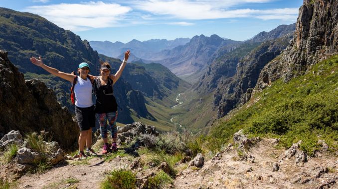
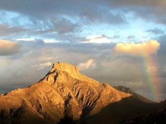
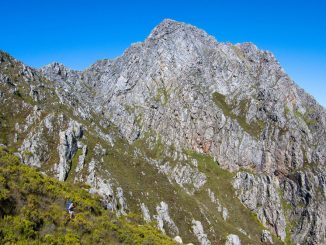
Jonkershoek Nature Reserve is a hiker’s paradise, with many trail options, including the ever popular Tweede Waterval walk. However, the crown jewel is without a doubt the Panorama Circuit which truly lives up to its name with jaw dropping views around every corner and a brilliantly laid out and varied trail.
Beauty: 5/5
Difficulty (fitness): 8/10
Technical Rating: On-trail walking with steep ascents and descents and some loose, rough terrain underfoot.
Distance: Indicated as 17km, but our GPS devices measured roughly 14km over 6.5 hours
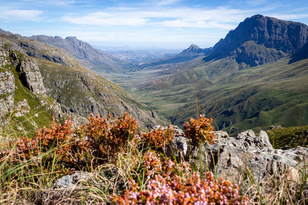
The circuit can be done in either direction, starting and ending at the hairpin bend of the circular drive through the valley. We found it easier going up to Kurktrekkernek as opposed to heading for Bergriviernek first.
The route starts as for the Tweede Waterval walk, gently rising and falling along the Eerste River until finally ascending steeply to the turn off for Tweede Waterval.
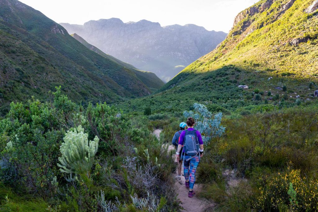
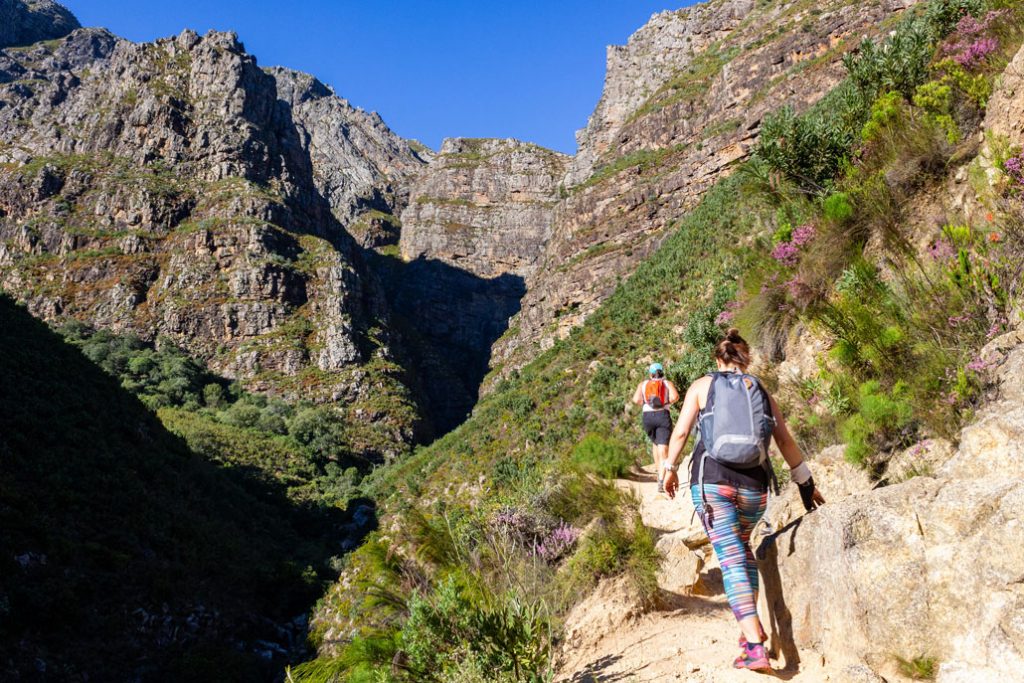
Shortly before Tweede Waterval, the trail turns left and heads up the steep, unrelenting hill to Kurktrekkernek (Corkscrew Neck). This section is quite badly eroded in places, so be aware of loose rocks. Remember to look behind you – the views of the Jonkershoek valley just get better and better as you quickly gain height up this steep hill.
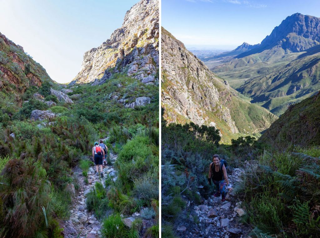
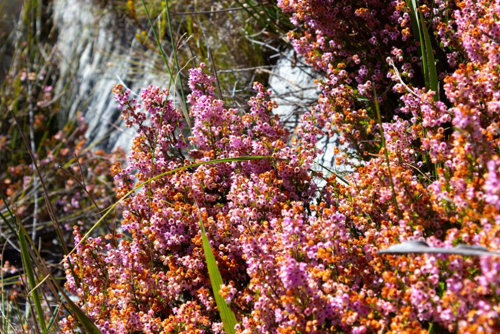
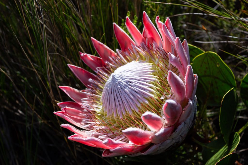
At the top a few trails intersect – turn left to continue on the Panorama Circuit. From here the trail continues up, winding its way through rocky outcrops, passing colourful sections of Erica and magnificent King Protea.
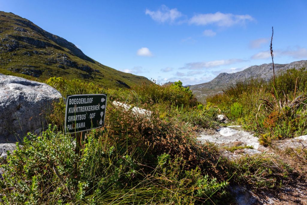
The trail levels out over Dwarsberg Plateau with its marshes and streams. From here the views are truly breathtaking, with the Hottentots Holland Nature Reserve and Franschhoek to the east, the entire Jonkershoek Valley to the west and the dramatic spires of Banhoek Peak the Cathedral ahead as you start to descend toward Bergriviernek with its stunning views of Assegaaiboskloof.
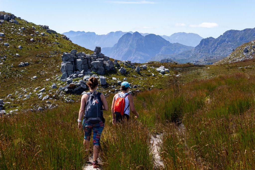
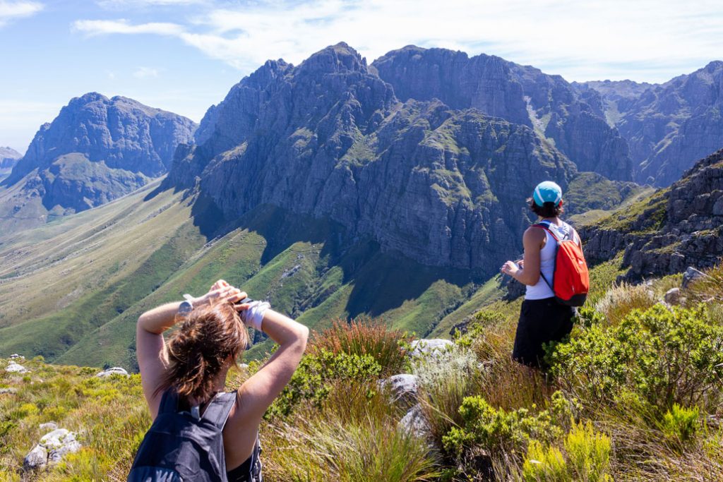
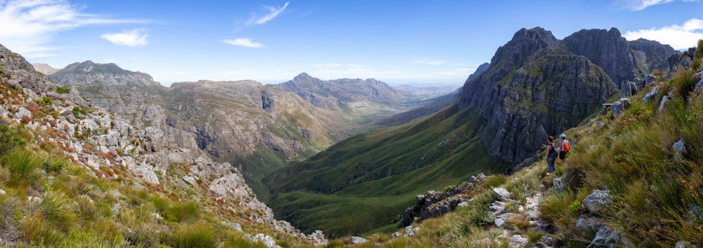
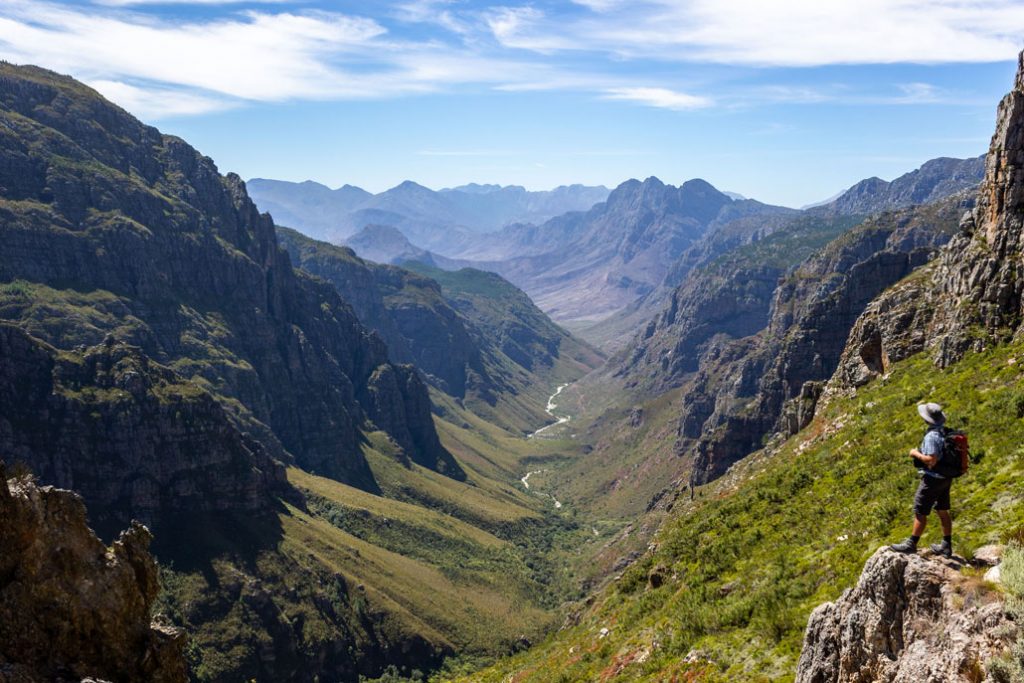
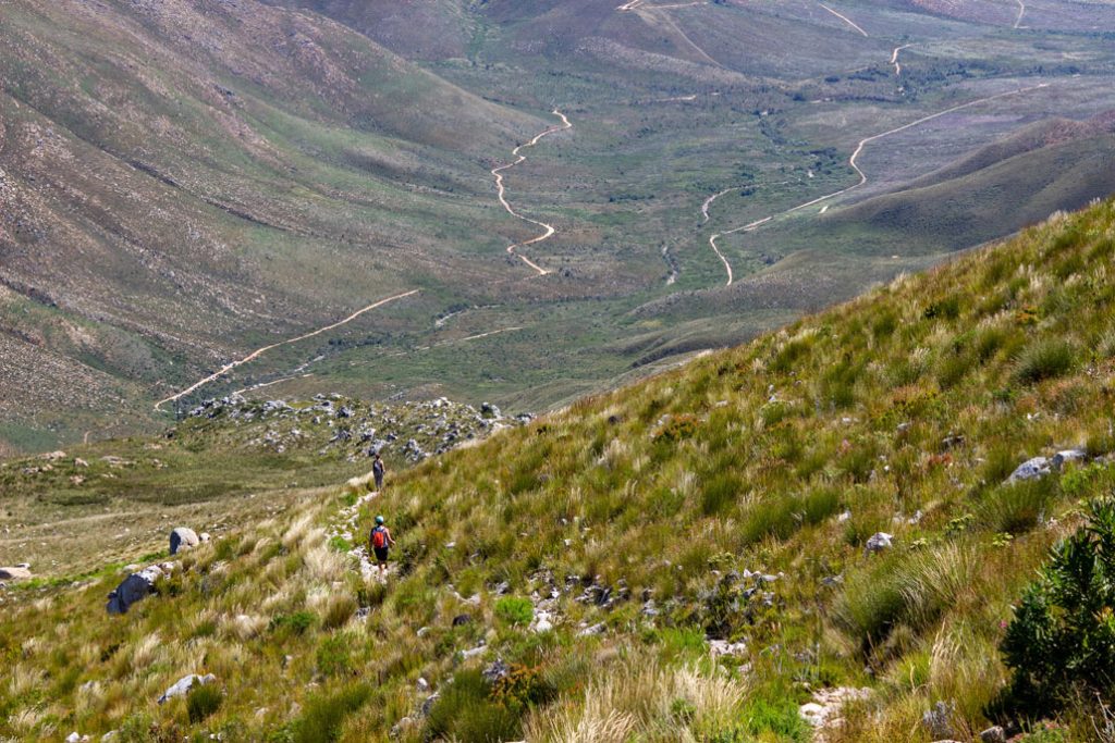
Once you’ve filled up your camera’s memory card with a million photos of Assegaaiboskloof, had a snack and just try to take it all in, you start the long, but still beautiful descent back to the parking area.
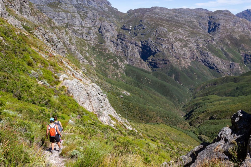
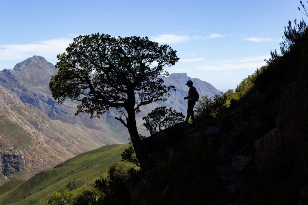
The first bit is quite steep in places but eventually the gradient becomes gentler with constant views of the beautiful valley ahead of you. If you have squeaky knees, you might want to carry trekking poles for the descent.
Conclusion
A truly brilliant trail with magnificent views! It’s not often that one gets to experience big mountains like this from the convenience of such a well laid out trail. This is a must-do for any fit hiker.
Permits & Info
Permits are available at the entrance of Jonkershoek Nature Reserve.
Enquiries: 021 866 1560 / 082 467 0405
Reservations: 021 483 0190
Click here to download the Jonkershoek brochure and map.

Hi Arno, incredibly beautiful pictures, and a lovely description. Thank you! Can you clarify where exactly the split from the tweede waterval route happens? Is it to the right, where the path continues straight up through the trees? Also, is this the route one can take to get to Landdroskap hut and is the trail clearly marked? Thanks!
…and the Boegoekloof trail, from the top of Kurktrekkersnek, takes you to Landdroskop hut.
As far as I can remember, the split is just before you start heading up to the waterfall. There is an earlier split that heads into a patch of forest and traverses off to the left, this is the not the way to Kurktrekkersnek. The gulley you ascend up to the nek is obvious. As long as make sure you take the left split, as opposed to the path to second waterfall, you’ll find it.
Absolutely! Jonkershoek is a beauty!
https://www.capeimage.co/photography-blog/stellenbosch-jonkershoek-panorama-route-hike
Thanks for a great article and pics. Coming to Western Cape in February for a family vacation we are looking for god hiking options. This route seems to be one such option.
Is the route safe and suitable for children age 10-13 as part of a family group?
Do you need a guide to find your way or is it straight forward, once you get started?
Thanks in advance
Søren
Hi Søren, the safety and suitability of the route for children depends entirely on the child’s ability. Many people hike the route with their children, but they are used to that type of terrain. If you have any doubts, rather get a guide: https://capetrails.co.za/
I’m curious about the road to the trailhead and whether high clearance or 4×4 are advised.
It can be done with a normal vehicle, but careful driving is necessary. You can also walk from the gate.
Hi, can you please tell me how far is the trail starting point from the main gate if i would leave the car there and reach it on foot? thanks a lot!
Hi there, How can one reach the park from Cape Town, and should I be concerned for personal safety Ifni go midweek? I’ll be visit CPT a few days and alone – I’m experienced at hiking hard long challenging days; more thinking of any crime related issues that I read about nr Table Mt etc. Thanks!
To reach Jonkershoek, you’ll need a car. You could potentially use Uber, but, depending on where you’re coming from, it could get very pricey.
In terms of safety, we don’t know of any crime related issues at Jonkershoek, but hiking on your own is never recommended and there is no guarantee that nothing will go wrong.
Hi there…I wanted to find out if hiking the Jonkershoek Trail will be suitable around 20th May 2023 – is it a good time of the year or will the weather already be misty and wet?
Around the Cape Town area there are no guarantees when it comes to long term weather predictions, so expect anything, but May is still pretty reliable with mostly dry, sunny days, although it might be cold.
A group of young people approx. 30 would like to experience a 2day hike in May 2024 from Jonkershoek to Nuweberg main gate overnighting at Landroskop. Please refer detailed map and advice.
Kindly also send details of Arno van der Heever.
One of the best circular routes in the Western Cape for sure. It’s important to factor in the extra walking time involved now that one cannot park at the start of the trail.